Getting there and around
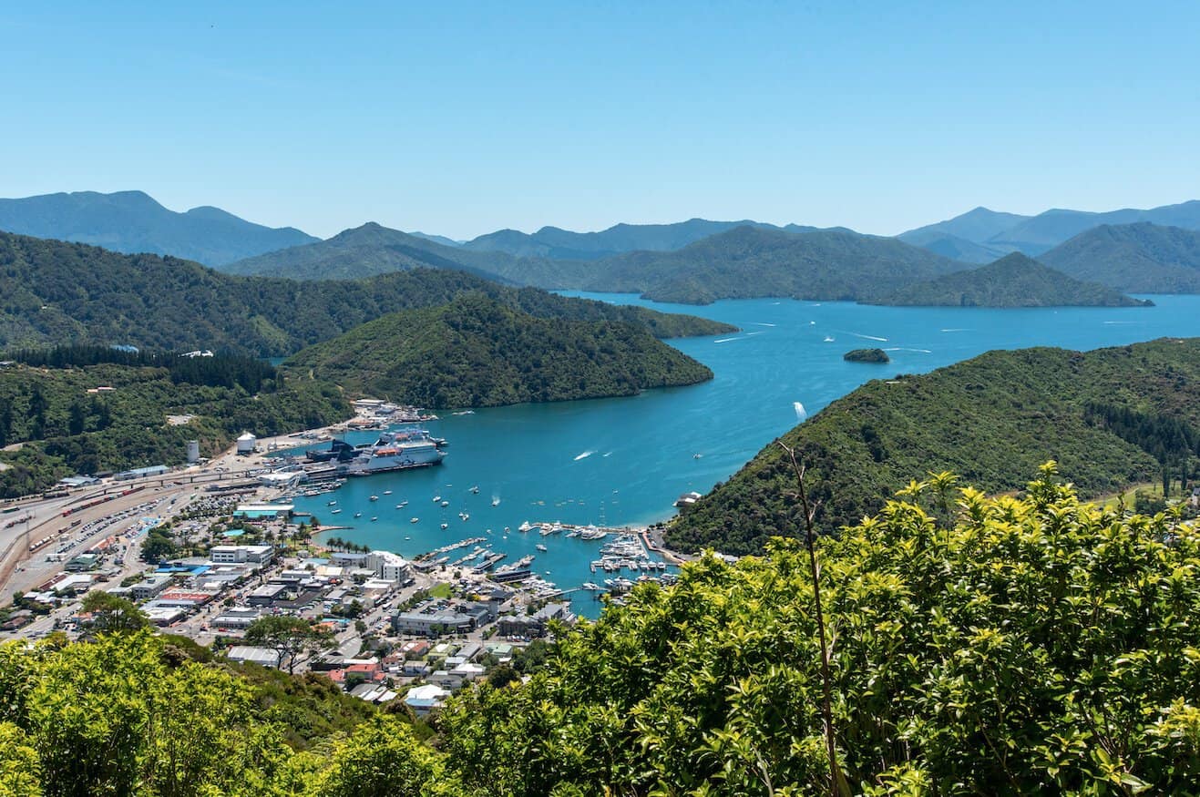
Marlborough is the South Island’s main ferry gateway — the Interislander and Bluebridge ferries connect Picton to Wellington in around 3.5 hours, making it a common entry point for those crossing from the North Island. Blenheim also has a small airport with domestic flights from Auckland, Wellington, and Christchurch, and InterCity coaches run down the coast to Christchurch or across to Nelson.
A hire car is the easiest way to explore Marlborough’s wineries and the Marlborough Sounds, since the vineyards around Renwick and Blenheim are spread across a wide, rural area with no regular public transport. Wine tour shuttles and cycle hire are popular alternatives for visiting multiple cellar doors without needing to drive yourself between tastings.
Overview
Here is the rewritten overview focusing solely on Marlborough:
Overview
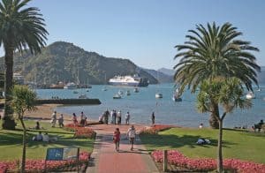
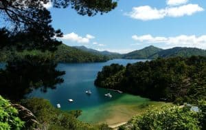
Marlborough occupies the northeastern tip of New Zealand’s South Island, bounded by the Pacific Ocean and connected westwards via State Highway 6 and the Queen Charlotte Drive. Home to the Marlborough Sounds — a drowned river valley system creating more than 1,500 kilometres of coastline — the region produces approximately 77 percent of New Zealand’s total wine output, predominantly Sauvignon Blanc. Served by ferry connections from Wellington via Picton, it acts as a primary gateway and entry point for travellers arriving from the North Island.
Top Things to Do
Marlborough Wine Region
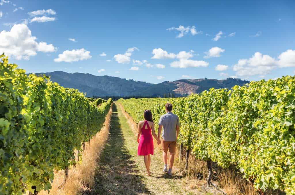
The Wairau and Awatere Valleys around Blenheim contain over 140 wineries, many of which offer cellar door tastings. Cloudy Bay, Brancott Estate, and Villa Maria are among the internationally recognised producers in the region. The Marlborough Wine Trail is a mapped cycling and driving route connecting key cellar doors.
Queen Charlotte Track
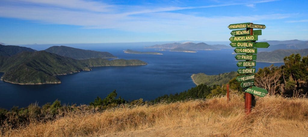
The Queen Charlotte Track runs 73 kilometres through the Marlborough Sounds from Ship Cove to Anakiwa. The track passes through regenerating native bush above Queen Charlotte Sound and Kenepuru Sound, with water taxi access from Picton enabling multi-day walking or mountain biking with bag transfer services. Access from Queen Charlotte Drive.
Nelson Lakes National Park
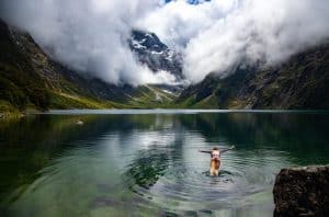
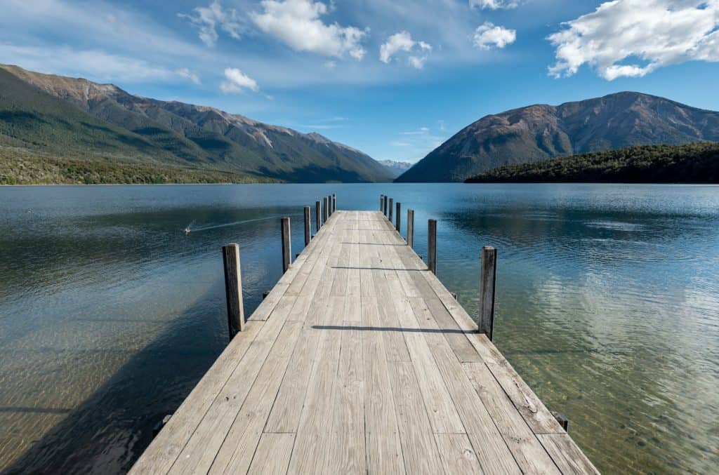
Nelson Lakes National Park, located 100 kilometres south of Nelson city, surrounds Lakes Rotoiti and Rotoroa at the northern end of the Southern Alps. The park is home to extensive beech forest, subalpine terrain, and significant kiwi and bird recovery programmes. Lake Rotoiti’s Rotoiti Nature Recovery Project is one of New Zealand’s most successful mainland island predator control initiatives.
Farewell Spit
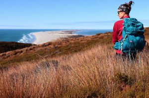
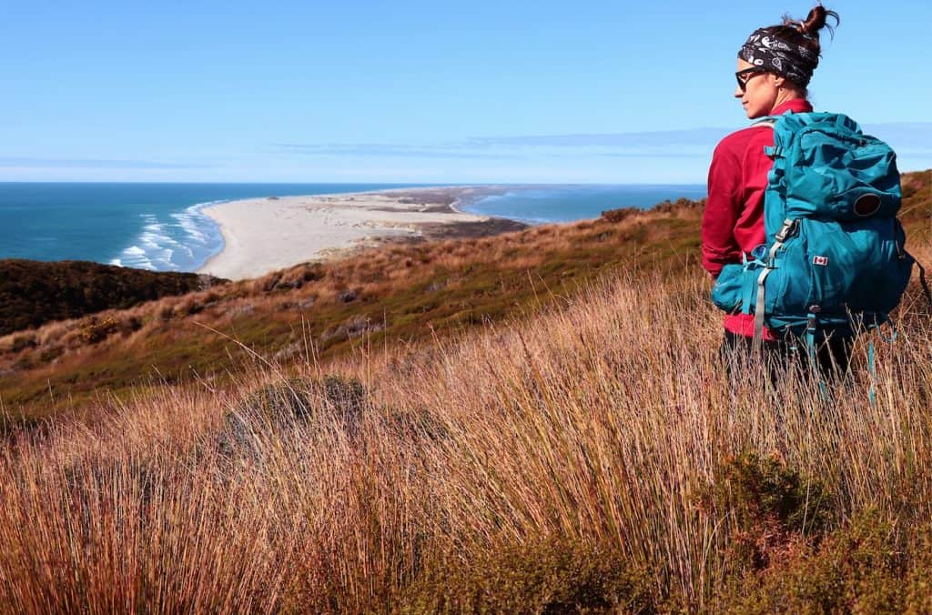
Farewell Spit is a 26-kilometre sand spit at the northern tip of the South Island and a Ramsar-listed wetland of international importance. The spit is home to tens of thousands of migratory wading birds, including bar-tailed godwits that complete the longest non-stop migration of any bird species — from Alaska to New Zealand. Guided tours operate from Collingwood.
Getting There
Nelson Airport (NSN) is served by Air New Zealand from Auckland, Wellington, and Christchurch. Picton is the primary ferry arrival point from Wellington via the Interislander or Bluebridge ferry services; the crossing takes approximately 3.5 hours. The drive from Picton to Nelson takes approximately 1.5 hours via State Highway 6.
Abel Tasman National Park
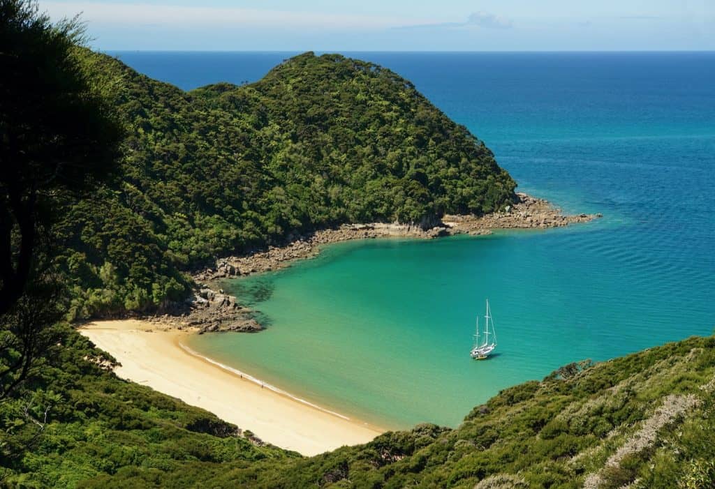
Abel Tasman is New Zealand’s smallest national park and its most visited, located 60 kilometres southwest of Nelson city. The park’s 51-kilometre Coastal Track is one of New Zealand’s nine Great Walks, passing golden sand beaches, granite headlands, and native bush. Water taxis operate from Marahau and Kaiteriteri, allowing visitors to walk sections of the track and return by boat.

Author: Tripplanner Team
The Tripplanner.nz editorial team, based in Matakana north of Auckland. We write the regional guides and road trips, and add listings for places we think every visitor should know about, alongside the locals who share their own favourite spots here.