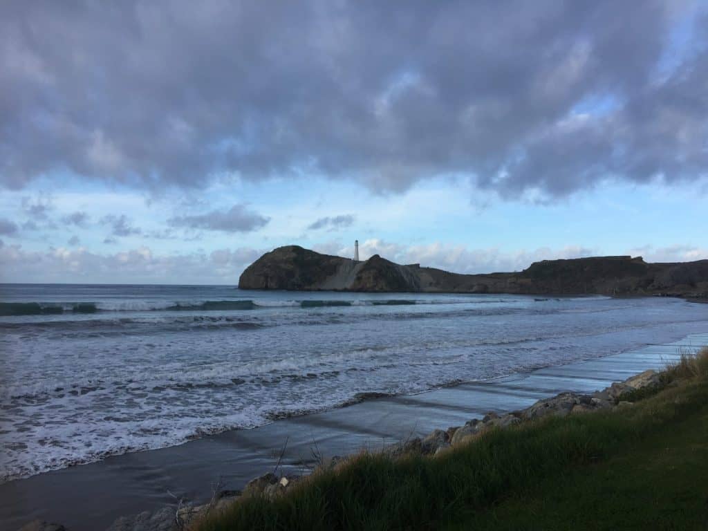
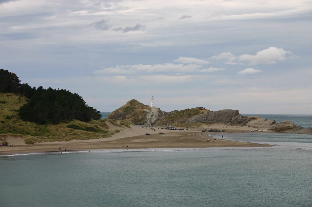
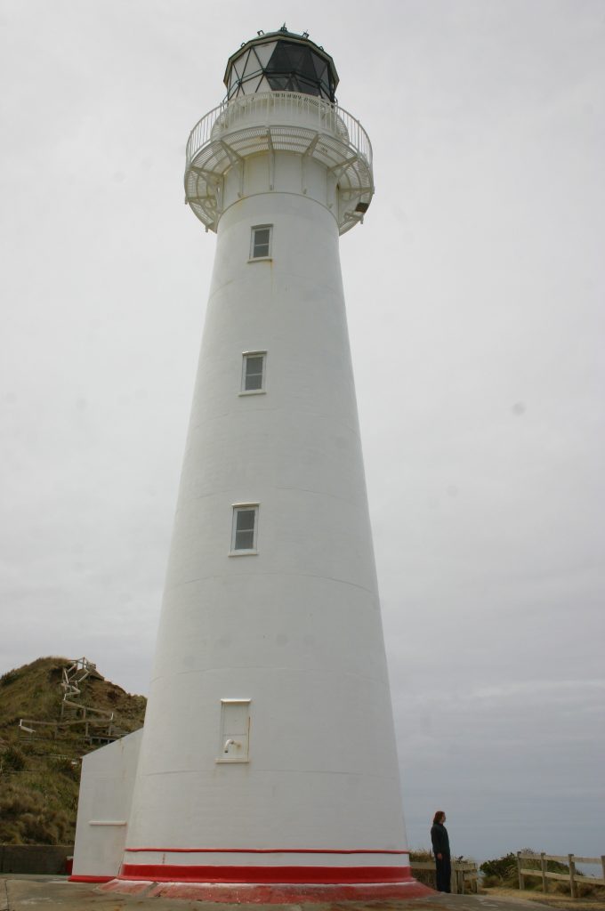
Castlepoint (Rangiwhakaoma, “where the sky runs”) is the kind of place Wairarapa locals send visitors when they want the real coast, not a postcard version of it. Follow Jetty Road to its end, park up for free, and you’re a short boardwalk from one of the North Island’s most photographed lighthouses.
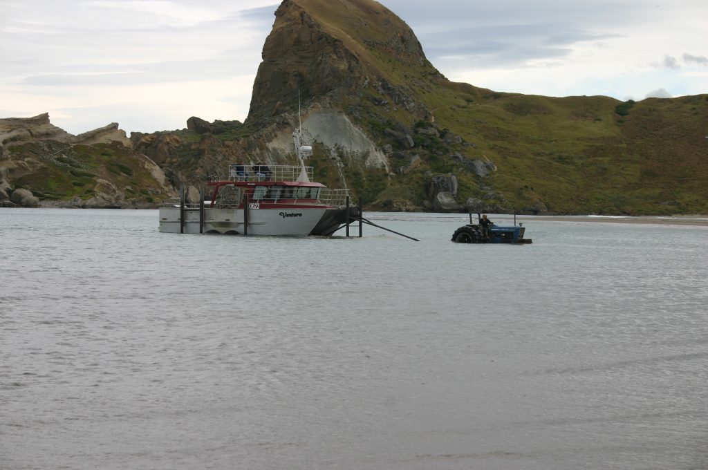
Captain Cook named the point in 1770, reckoning Castle Rock’s 162-metre bulk looked like a fortress from the sea. He wasn’t wrong — it still dominates every view here, with Deliverance Cove tucked in behind it. The reef stretches nearly a kilometre out to a small island, all fossil-rich limestone that’s home to the Castlepoint daisy, a plant found here and nowhere else on earth.
The lighthouse dates to 1913 and, at 52 metres above sea level, is the tallest in the North Island. It’s fully automated now, but still spins one of only two original Fresnel lenses left in the country — locals call it “the holiday light” for how long it’s watched over summer crowds on the beach below. The walk out along the boardwalk takes about half an hour return and is easy going, though the reef itself is not: currents and rogue waves make it genuinely dangerous, so admire it from the track rather than climbing down onto it.
This has been a gathering place for a very long time — among the earliest sites of human occupation recorded in Aotearoa, with shared mana whenua today held by Rangitāne o Wairarapa and Ngāti Kahungunu ki Wairarapa. The beach has also hosted an annual horse race meeting since 1872.
Go early if you can — the light through the rock formations at sunrise is the reason half the photos of this place exist, and you’ll have the boardwalk to yourself.
Photos: Sheldybett, DB Thats-Me (x3) via Wikimedia Commons.