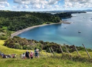
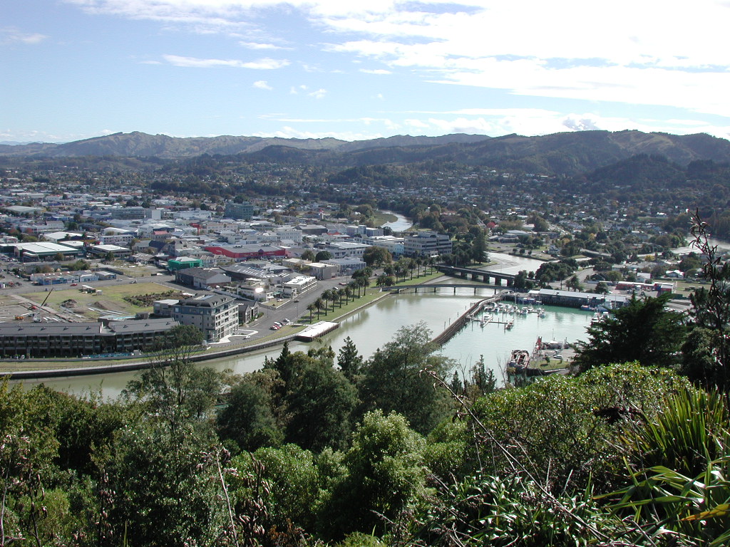
If you only do one free thing in Gisborne, make it the walk up Titirangi — known to most locals simply as Kaiti Hill. It’s the green hill you can see from almost anywhere in town, and it’s been a place of real significance for a lot longer than it’s had a car park.
Long before Cook, this was a pā (fortified settlement) of Ngāti Oneone, with ties to Rongowhakaata and Te Aitanga-a-Māhaki — tribal tradition holds it was where local leaders sent their young people for training. Then, in October 1769, the hill became the backdrop to one of the more consequential moments in New Zealand history: the first recorded meeting between Māori and Cook’s Endeavour crew, down at what’s now Puhi Kai Iti / Cook Landing Site at the base. The Cook Monument up top, unveiled in 1906, marks it, and the whole reserve became the country’s first national historic reserve in 1990.
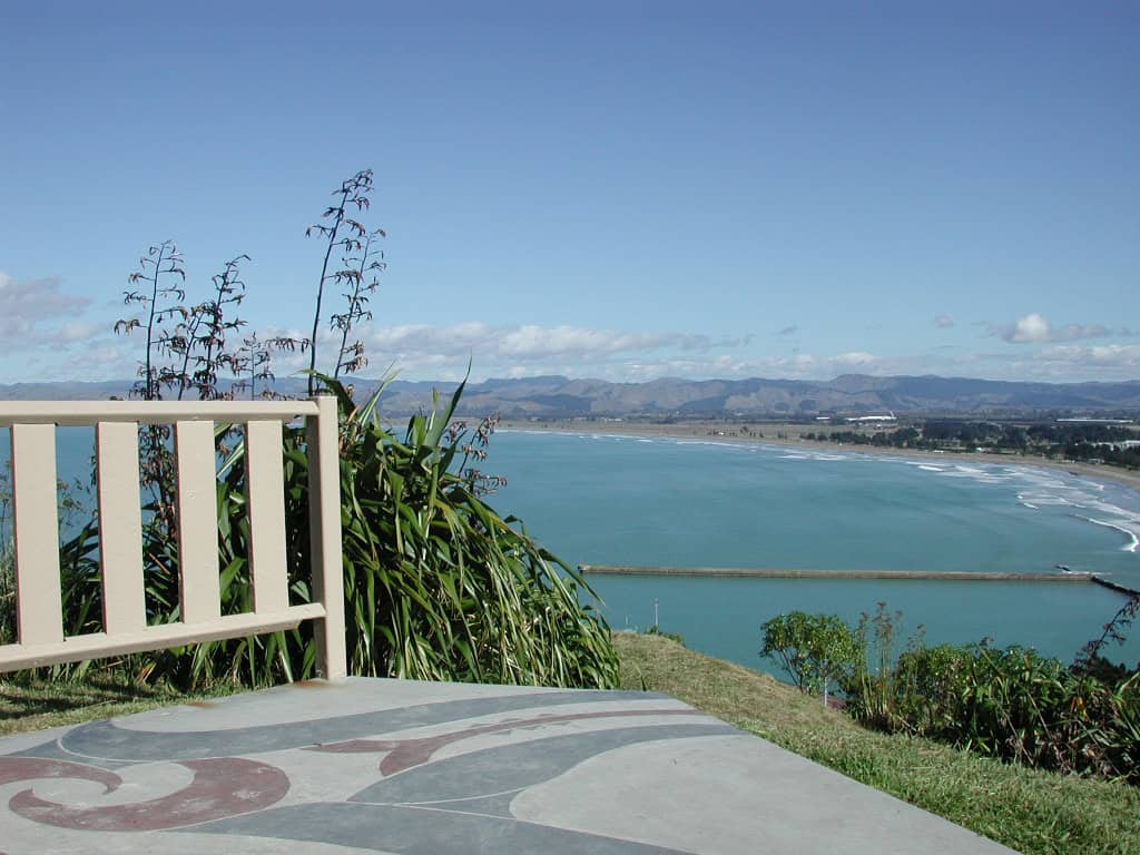
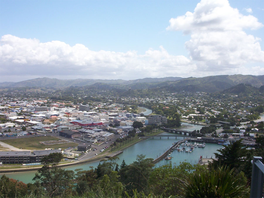
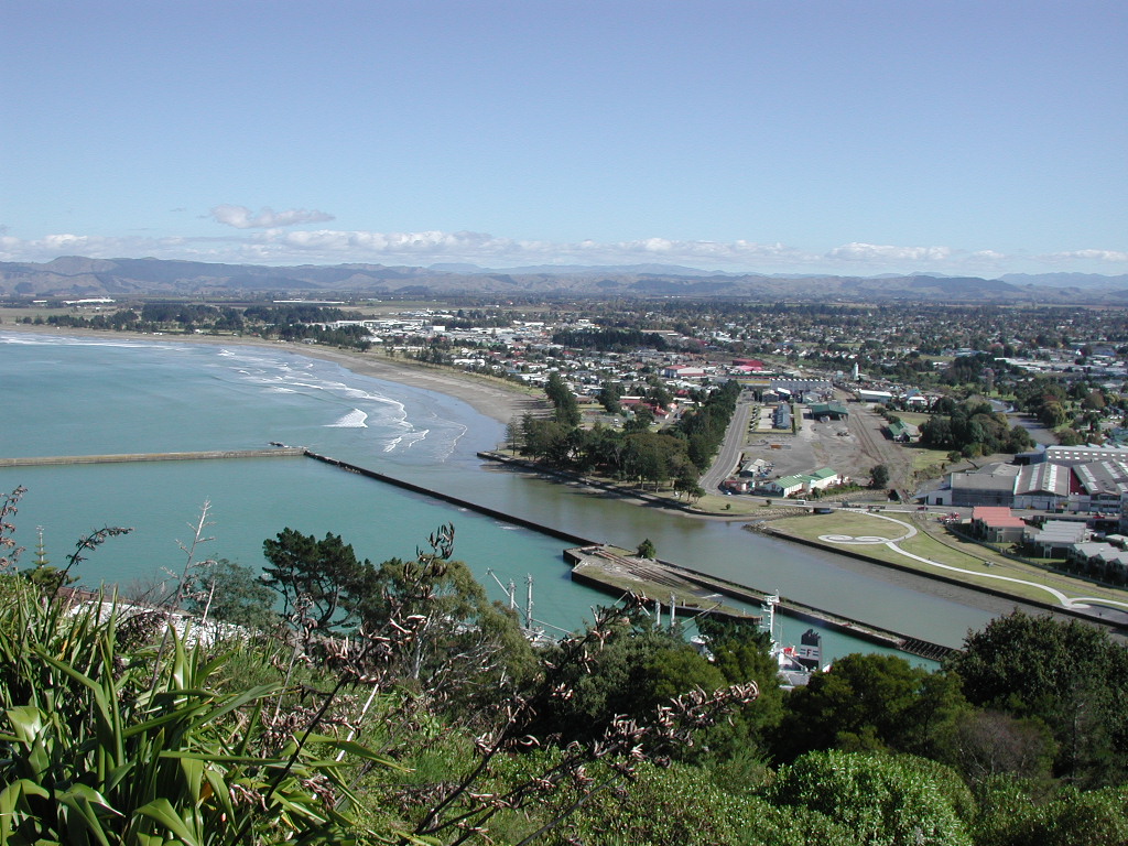
These days it’s a proper locals’ loop: about 2.4km, 45 minutes to an hour, with a set of steep steps if you’re keen or a gentler graded track if you’re not. At the top you get the whole of Poverty Bay laid out — the Taruheru, Waimata and Tūranganui rivers meeting near the coast, and Mahia Peninsula out in the distance on a clear day. Along the way there’s a WWII gun emplacement, the old James Cook Observatory, a pōhutukawa planted by Princess Diana, and a playground and picnic tables at the summit if the kids need a break.
It’s free, open daylight hours only (no track lighting at night), and dogs are fine on a lead. Drive right to the top via Queens Drive or Titirangi Drive off Endcliffe Road if you want the view without the climb, or park on Kaiti Beach Road near the Cook Monument and walk up from the base.