
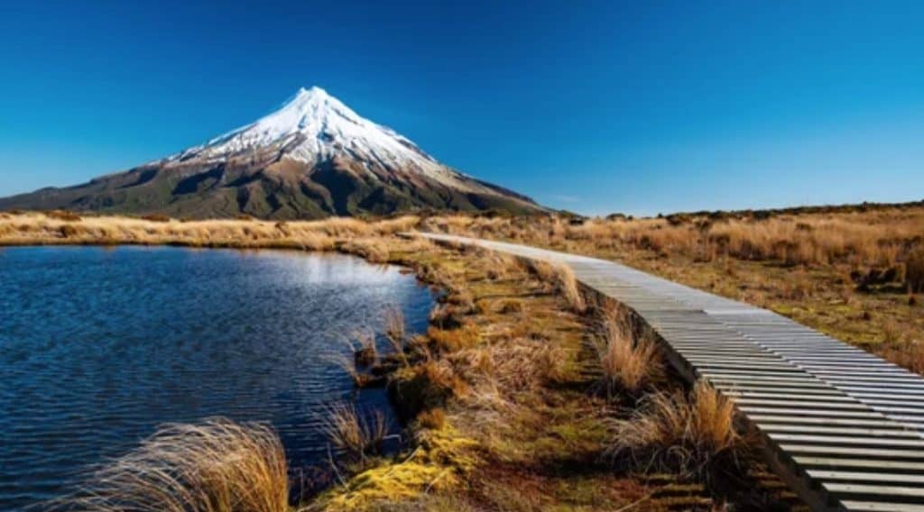
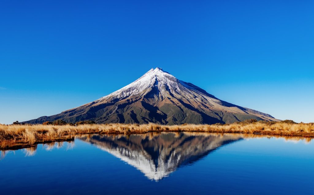
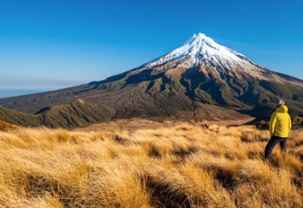
Mount Taranaki (also called Taranaki Maunga) is a near-perfect, dormant conical volcano on New Zealand’s North Island, the second-highest peak in the North Island, known for its classic shape, surrounding national park (Te Papa-Kura-o-Taranaki), cultural significance to Māori, and challenging summit hikes, with its last major eruption around 1854.
The North Taranaki Visitor Centre, situated at 940 metres on the northern slopes of Taranaki Maunga, is the most accessible entry point to Taranaki National Park and the starting point for a network of free walking tracks that provide some of the most spectacular and most varied mountain scenery in the North Island. The 26-kilometre drive from New Plymouth to the visitor centre is itself a remarkable experience — climbing from the coastal plain through productive dairy farmland, then into the continuous native forest of the national park, before emerging at a mountain clearing with the great volcanic cone rising steeply above. The visitor centre itself is freely accessible, well-equipped, and staffed by DOC rangers who can advise on current track conditions and weather.
The short walks beginning from the visitor centre offer an extraordinary range of alpine, forest, and volcanic landscape experiences within a short distance of the car park. The Veronica Loop Track (45 minutes, 2 km) winds through the upper mountain forest — an eerie, moss-draped world of kāmahi and tōtara that is commonly known as the Goblin Forest, its trees draped in pale green lichens and cushion mosses that give the forest an ancient, otherworldly appearance entirely different from the lowland bush below. The Ngatoro Loop Track (20 minutes) provides an easy introduction to the national park environment with good views of the mountain’s upper slopes.
The Translator Road Track (1.5 hours return) climbs further into the subalpine zone and provides increasingly dramatic views of the summit cone — the black lava fields, the snow and ice of the upper mountain, and the extraordinary geometric regularity of the volcanic form that makes Taranaki Maunga one of the world’s most recognisable mountains. On a clear day, the sight of the summit from the upper sections of this track — the mountain’s perfect cone rising above the forest canopy against a blue sky — is one of the finest free mountain views in New Zealand.
The visitor centre contains an excellent free exhibition on the ecology, geology, and cultural history of Taranaki National Park, including interpretation of Taranaki Maunga’s significance to the Māori people for whom the mountain is an ancestor. The DOC rangers at the centre are knowledgeable and can provide current conditions for all tracks including the longer day walks such as the Pouākai Circuit, the Kapuni Loop, and the summer Summit Track.
The weather on Taranaki Maunga is notoriously changeable and can deteriorate from clear to dangerous in under an hour. The mountain generates its own weather patterns and is cloud-capped for an average of more than 200 days per year. Always check the forecast with DOC staff at the visitor centre before ascending beyond the short tracks, and dress in layers regardless of the conditions at the car park.
Local Tip: Visit the North Taranaki Visitor Centre on a clear morning when the summit is uncapped and the Goblin Forest is lit in the early light — the combination of the moss-draped trees and the mountain looming above is the essence of the Taranaki experience. The summit is most often clear in the early morning before the daily cloud cap develops. Call the DOC visitor centre before leaving New Plymouth to check current conditions.
1 Review on “Mt Taranaki”
Graham
Great walks!