Getting there and around
Whangārei has a small regional airport with a handful of direct flights from Auckland, though most visitors simply drive — around 3 hours to Whangārei or 3.5–4 hours to the Bay of Islands via State Highway 1. InterCity coaches run daily from Auckland to Paihia and Kerikeri in around 4–4.5 hours, and there is no passenger rail this far north.
A hire car is by far the best way to explore Northland, since its beaches, forests, and the far north are spread across a large, rural area with limited public transport. Local buses connect the main towns, but they run infrequently, so day tours and organised coaches (especially up to Cape Reinga) are a popular alternative to self-driving the unsealed roads at the very top of the region.
Overview
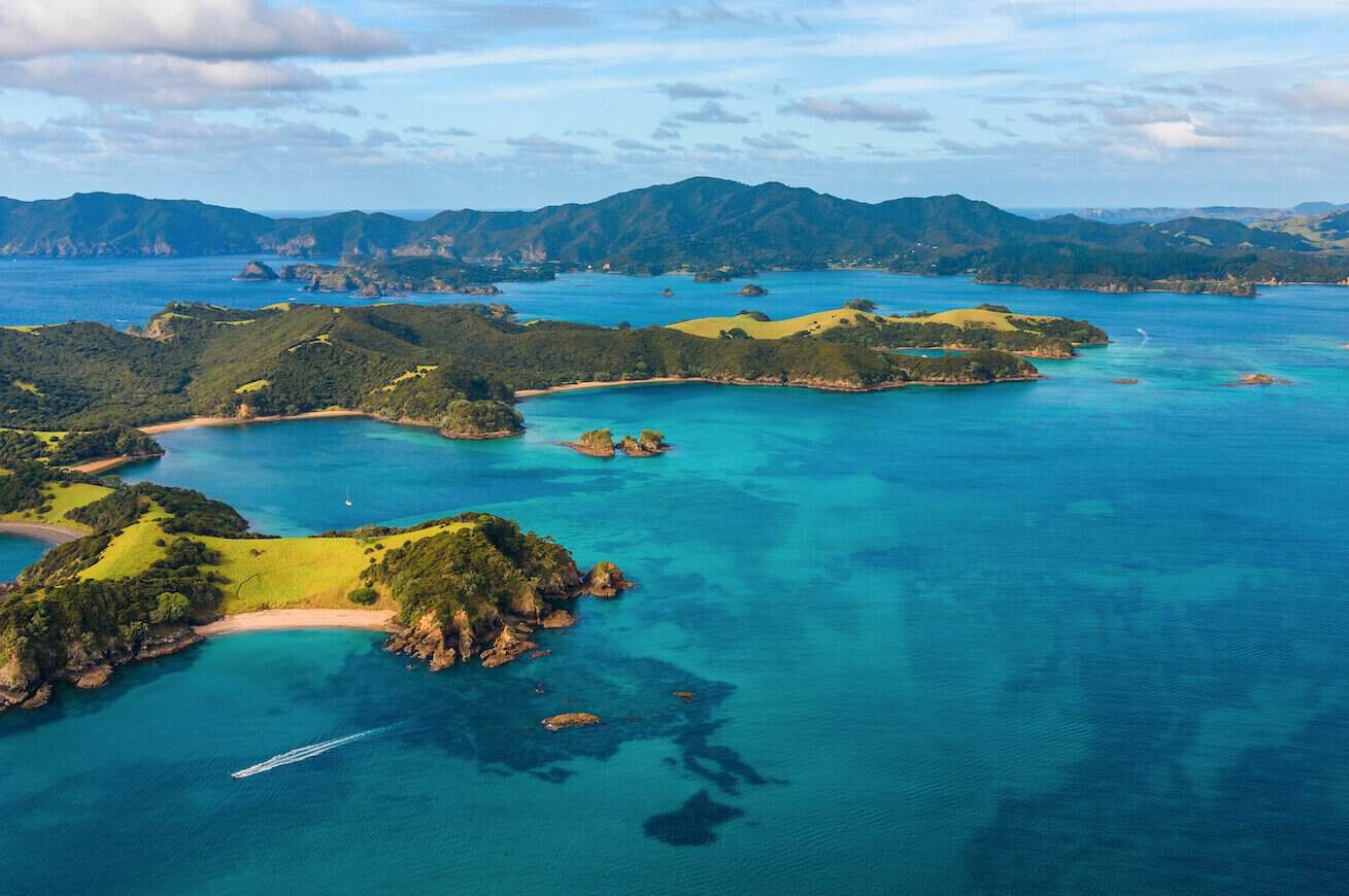
The Bay of Islands is a coastal area in the Far North of New Zealand’s Northland region, approximately 240 kilometres north of Auckland. The bay contains 144 islands set in warm subtropical waters and is widely regarded as one of New Zealand’s premier marine destinations, known for game fishing, sailing, dolphin encounters, and diving. The region holds exceptional historical significance: the Treaty of Waitangi — New Zealand’s founding constitutional document — was first signed here on 6 February 1840, and Paihia and Russell (formerly Kororāreka) are among the oldest European settlements in the country. The area is also significant within Māori history, as Rangihoua Pā, built in this region, is considered to be among the oldest known pā sites in New Zealand.
Top Things to Do
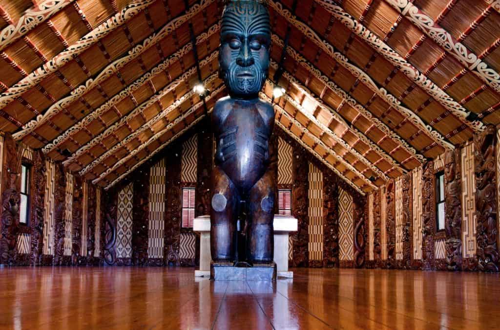
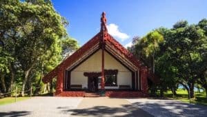
The Waitangi Treaty Grounds is New Zealand’s most important historic site, located on a 506-hectare property above the Bay of Islands. The grounds include the Treaty House (built 1833), the Meeting House Te Whare Rūnanga with its carved interior representing all New Zealand iwi, and the world’s largest ceremonial war canoe (waka taua), Ngātokimatawhaorua, at 35 metres in length. Daily cultural performances and guided tours explain the Treaty’s significance and ongoing relevance to New Zealand society.
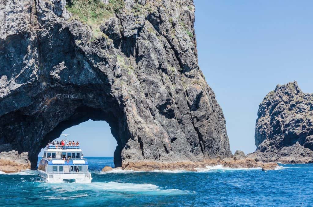
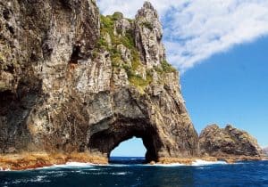
The Hole in the Rock at Piercy Island (Motukokako) is a large wave-eroded arch on the outermost island of the Bay of Islands, accessible only by boat. Dolphin cruise operators from Paihia and Russell offer day trips to the rock, passing through the arch when sea conditions allow. Common and bottlenose dolphins are regularly encountered in the bay, and humpback whales pass through on seasonal migration.
Russell Historic Township
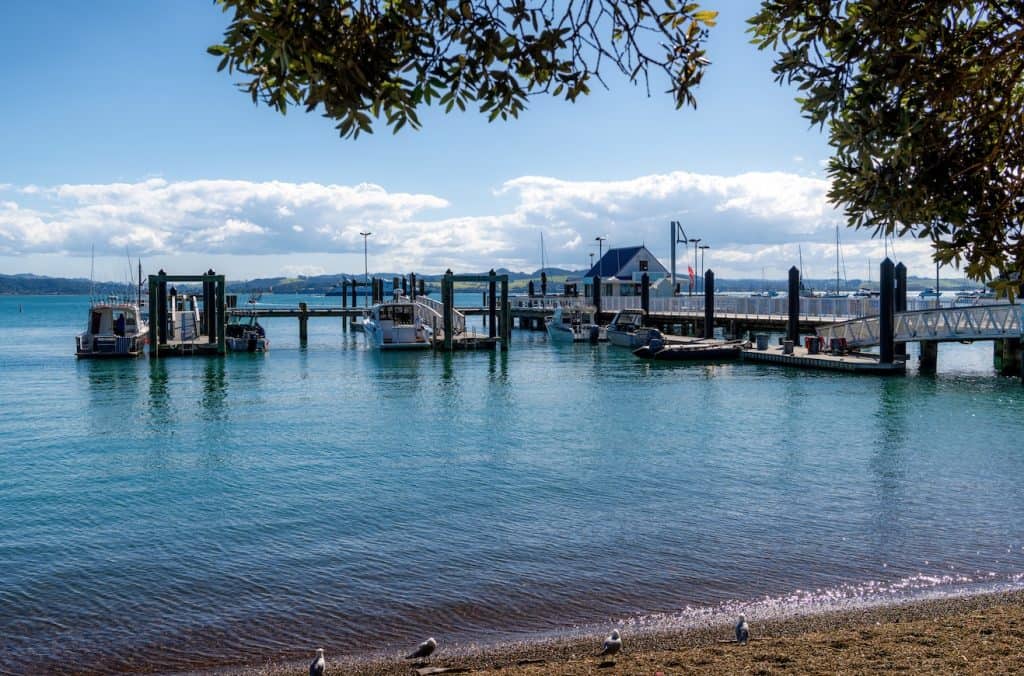
Russell, reached by a 15-minute passenger ferry from Paihia, was the first permanent European settlement in New Zealand and briefly served as the country’s capital. The Pompallier Mission (1842) is a rare intact example of early colonial industrial architecture and operated as a printery for Catholic missionaries. Christ Church (1836) is New Zealand’s oldest standing church, with musket ball holes still visible in the walls from the 1845 Battle of Kororareka.
Cape Reinga & Ninety Mile Beach
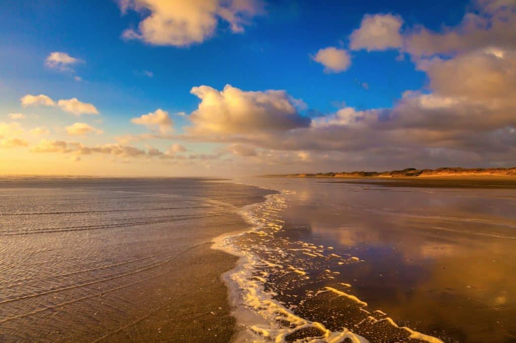
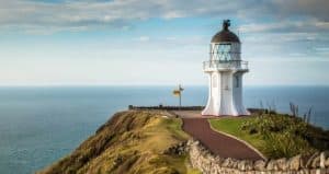
Cape Reinga, the northernmost accessible point of New Zealand’s mainland, holds deep spiritual significance in Māori tradition as the departure point for spirits journeying to Hawaiki after death. A 15-minute walk from the car park reaches the lighthouse, where the Tasman Sea and Pacific Ocean meet. Ninety Mile Beach (actually 88 kilometres) stretches south along the west coast and is a legal road, accessible to sand-capable vehicles. Coach tours from Paihia operate daily.
Kerikeri Historic Basin
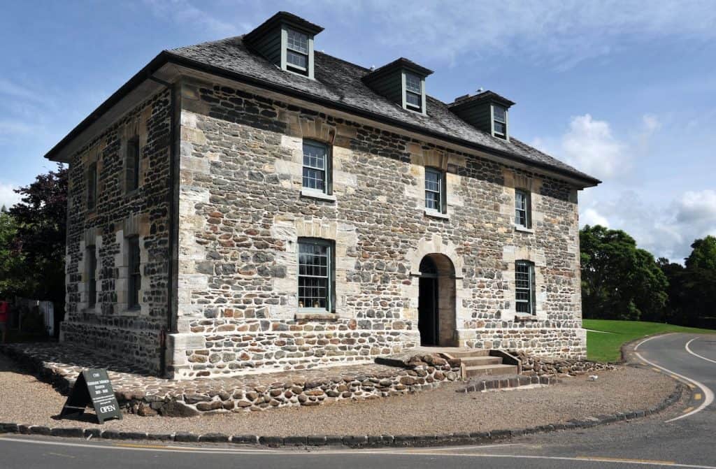
Kerikeri is a 20-minute drive from Paihia and contains New Zealand’s two oldest surviving European buildings: Kemp House (1822) and the Stone Store (1836), both on the banks of the Kerikeri Inlet. The area was the site of the second Christian mission station in New Zealand. Kerikeri is also a significant arts and crafts hub, with over 100 galleries, studios, and artisan food producers in the surrounding area.
Getting There
The Bay of Islands is approximately 3.5 hours drive north of Auckland via State Highway 1 through Whangarei. The closest airport is Kerikeri Airport (KKE), served by Air New Zealand from Auckland with multiple daily flights — the flight takes 40 minutes. InterCity bus services run from Auckland to Paihia daily.



Author: Tripplanner Team
The Tripplanner.nz editorial team, based in Matakana north of Auckland. We write the regional guides and road trips, and add listings for places we think every visitor should know about, alongside the locals who share their own favourite spots here.