Overview
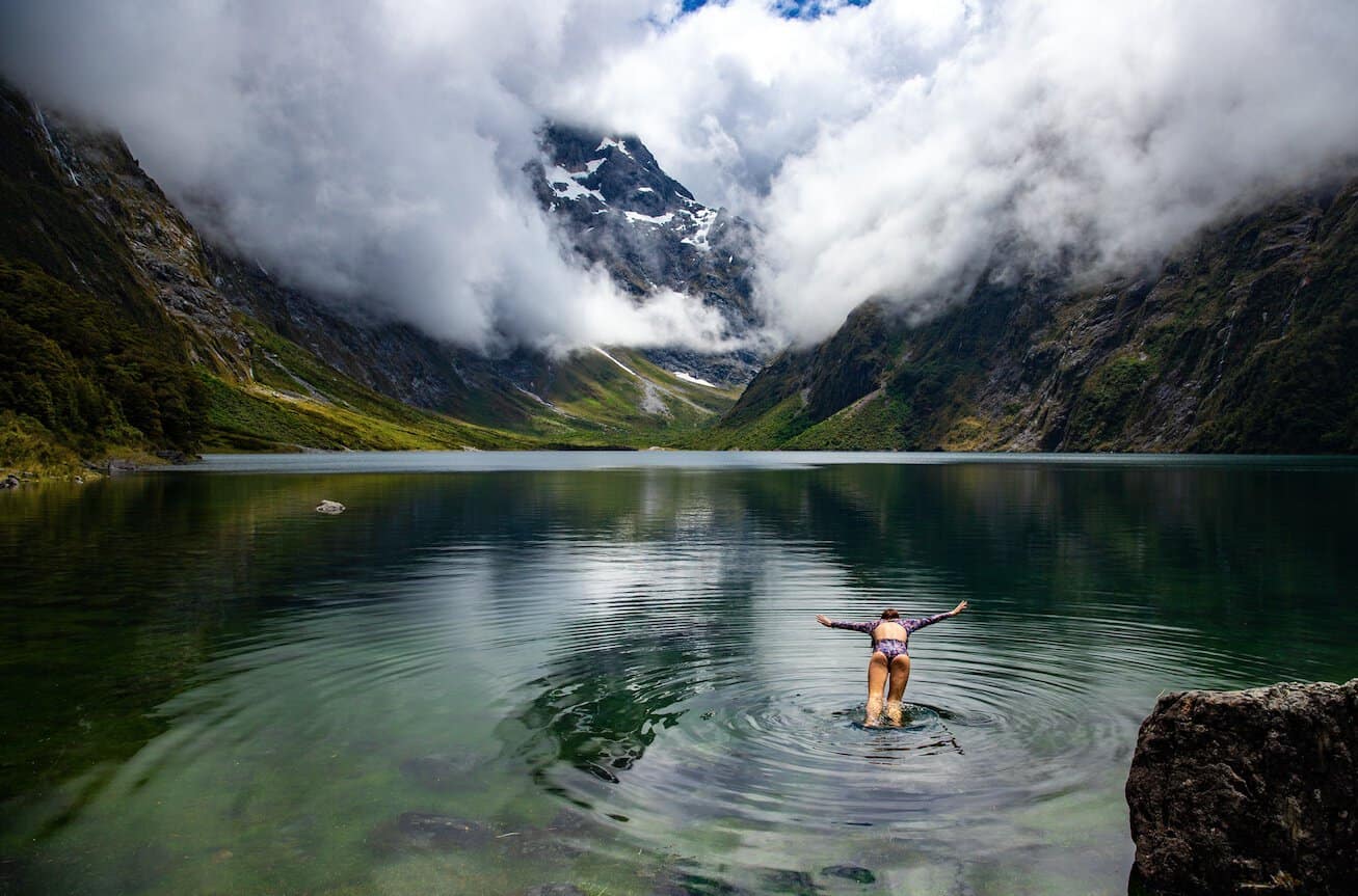
Southland and Fiordland represent New Zealand’s most remote and untouched landscapes — a wild, rain-drenched corner of the South Island where ancient glacier-carved fiords slice deep into mountains mantled in temperate rainforest, and where the southern coastline dissolves into a remote archipelago stretching toward Antarctica.
Fiordland National Park, at over 1.2 million hectares, is the largest national park in New Zealand and part of the Te Wahipounamu South West New Zealand UNESCO World Heritage Area. Within it, Milford Sound (Piopiotahi) is the region’s crown jewel — a deeply incised glacial fiord whose sheer rock faces plunge from cloud-piercing peaks directly into black, mirror-still water alive with dolphins, fur seals, and rare Fiordland crested penguins. Rain — even heavy rain — often enhances the experience, as hundreds of temporary waterfalls appear across the fiord walls.
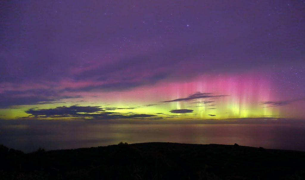
Beyond Fiordland, the Southland region offers rich farmland, the small but likeable city of Invercargill, and the ferry crossing to Stewart Island/Rakiura — a place of genuine wilderness where kiwi outnumber people, and the aurora australis (Southern Lights) dances on clear winter nights. Southland and Fiordland are typically reached from Queenstown (a 2.5-hour drive to Te Anau), or via air from Christchurch and Auckland, and are best explored with a minimum of three to four days, ideally a week.
Top Things to Do in Southland and Fiordland
Milford Sound (Piopiotahi)
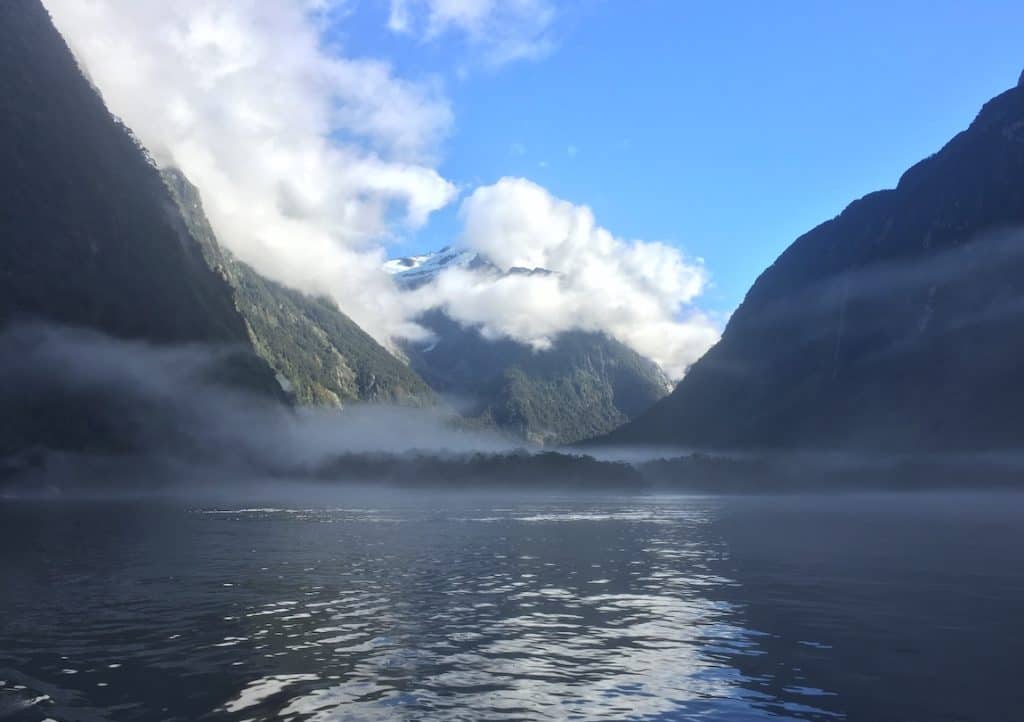
New Zealand’s most iconic natural landmark. The 15km-long fiord is flanked by sheer granite walls rising over 1,200 metres — including the iconic Mitre Peak, which rises 1,692 metres directly from the fiord surface. Mitre Peak Cruises and other operators run day and overnight cruises through the fiord, passing spectacular waterfalls, resident pods of bottlenose dolphins, and New Zealand fur seal colonies. The drive to Milford from Te Anau along State Highway 94 is itself one of the world’s great scenic drives — 119km through beech forest, alpine passes, and the Homer Tunnel.
Milford Track — New Zealand’s Finest Walk
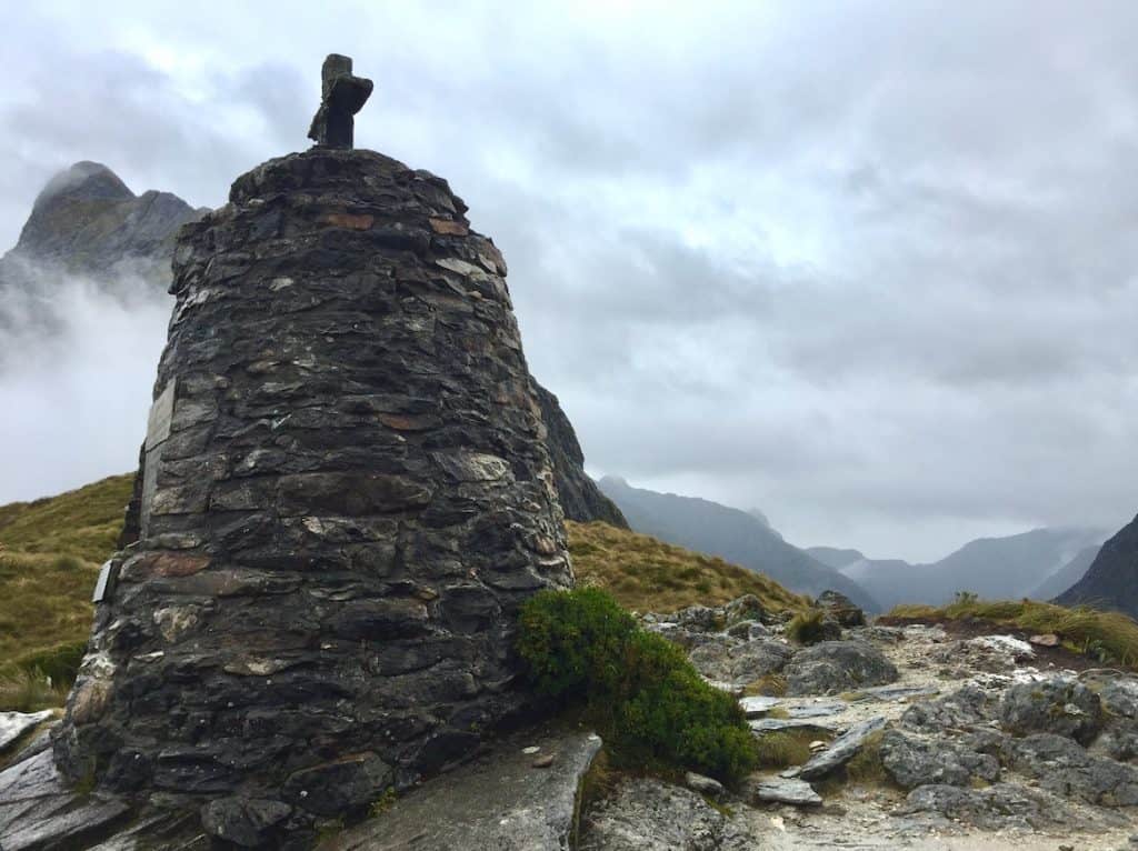
Described historically as ‘the finest walk in the world,’ the 53.5km Milford Track is a four-day guided or independent tramp from the head of Lake Te Anau through ancient beech forests, over the MacKinnon Pass (1,154m), past the spectacular Sutherland Falls (580m — New Zealand’s tallest accessible waterfall), and down to the Milford Sound foreshore. Freedom walking numbers are strictly limited by DOC — booking six to twelve months ahead is strongly recommended to secure hut passes for the December to April season.
Stewart Island/Rakiura — New Zealand’s Third Island
A 20-minute flight or 60-minute ferry crossing from Bluff transports visitors to New Zealand’s third-largest island, 85% of which is protected as Rakiura National Park. Stewart Island is one of the few places in New Zealand where wild brown kiwi can be seen relatively easily — guided kiwi spotting tours on Mason Bay operate nightly with high success rates. Ulva Island (within Paterson Inlet) is a pest-free sanctuary accessible by water taxi, home to extraordinary birdlife including South Island robins, kākāriki, and weka.
Doubtful Sound — The Sound of Silence
While Milford Sound is the most famous of Fiordland’s fiords, Doubtful Sound is considered by many who have visited both to be the more profoundly affecting experience. Three times longer than Milford and receiving far fewer visitors, Doubtful Sound is reached by boat across Lake Manapouri and then bus over the Wilmot Pass — a journey that itself traverses spectacular wilderness. The fiord is known for its extraordinary stillness, its resident population of bottlenose dolphins, and the eerie, primordial silence of its inner reaches.
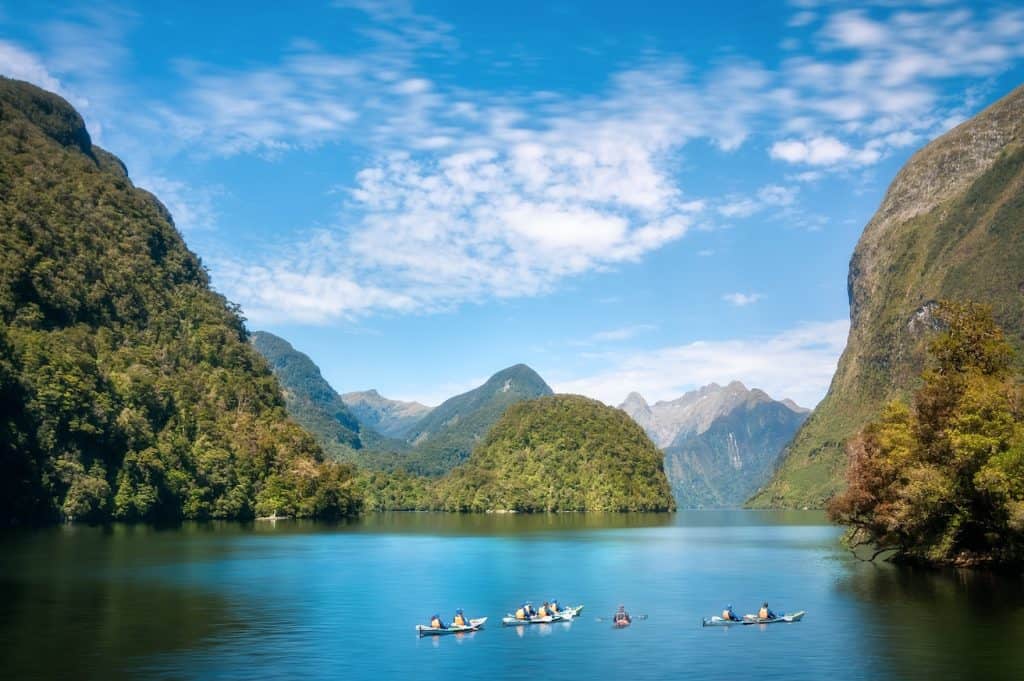
Te Anau Glowworm Caves
The Te Anau Glowworm Caves — on the western shoreline of Lake Te Anau — offer one of the most atmospheric underground experiences in New Zealand outside of Waitomo. Accessible only by boat, the caves contain a small underground river, waterfalls, and whirlpools, culminating in a silent boat ride through a low-ceilinged grotto illuminated by thousands of glowworms. The caves are managed in strict partnership with Ngāi Tahu, and access is by guided tour only through Real Journeys (now Ngāi Tahu Tourism).
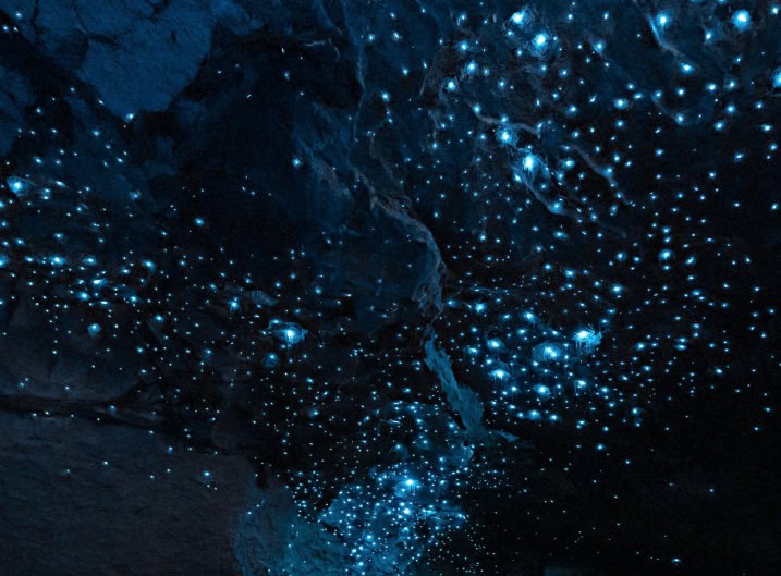
Lake Hauroko & Fiordland’s Remote Southern Lakes
Lake Hauroko, accessible via an unsealed road from Tuatapere in western Southland, is New Zealand’s deepest lake at 462 metres — and one of its most remote and atmospheric. The surrounding Fiordland wilderness is reached through native beech forest, and the lake’s dark, tannin-stained water sits in a deep glacial trench flanked by ancient forest. The Hauroko area is the southern trailhead for the Dusky Track — one of New Zealand’s most challenging and remote multi-day wilderness tramps, for experienced backcountry travellers only.
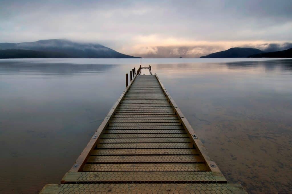
Invercargill & Bluff — Gateway to the Deep South
Invercargill, New Zealand’s southernmost city, is a flat, spacious grid city with a surprising amount of character, anchored by the excellent Southland Museum and Art Gallery (home to a remarkable tuatara breeding programme visible to visitors) and the E Hayes Hardware Store — a wonderfully eclectic shop housing a world-class collection of vintage motorcycles. Thirty minutes south, the port town of Bluff is the departure point for Foveaux Strait ferries to Stewart Island, and the home of the world-famous Bluff oyster season (April to August), a pilgrimage for New Zealand seafood lovers.
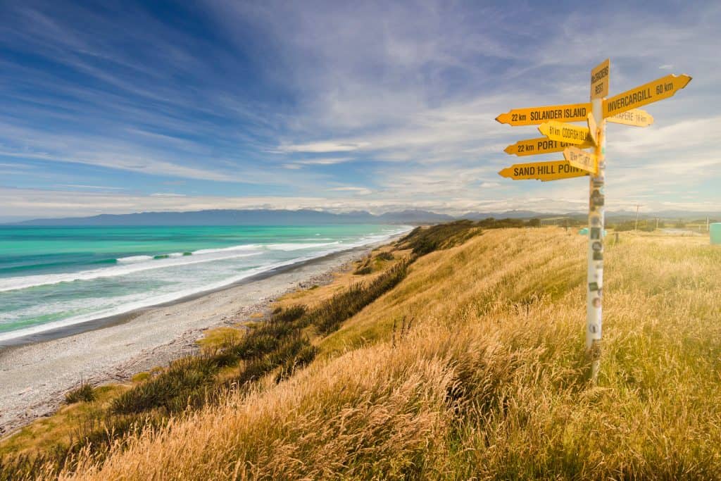
The Catlins — New Zealand’s Forgotten Coast
Tucked into the southeastern corner of the South Island between Balclutha and Invercargill, the Catlins is one of New Zealand’s least-visited and most rewarding coastal wilderness areas — a 200km stretch of rugged cliffs, ancient podocarp forest, sea caves, and deserted beaches where fur seals, sea lions, Hector’s dolphins, and yellow-eyed penguins (hoiho) go about their business largely undisturbed by human activity. It is the kind of place that rewards those who slow down, pull over often, and follow the brown DOC signs down unsealed roads to see what’s at the end.
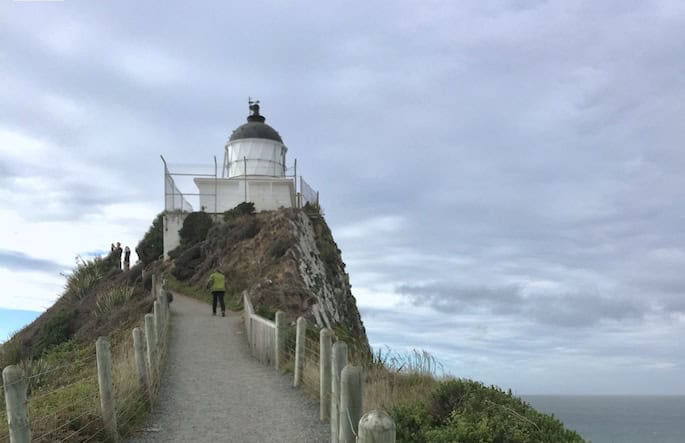
The Catlins is best explored as a self-drive loop on State Highway 92 between Balclutha and Invercargill — allow a minimum of two full days, though three is better. Key stops include Nugget Point (Tokatā), where a short walk to a historic lighthouse looks out over a series of dramatic rocky outcrops populated by fur seals and resting royal spoonbills; Purakaunui Falls, a wide three-tiered cascade through native beech forest that is one of the most photographed waterfalls in the South Island; and Curio Bay, where a 180-million-year-old petrified forest is exposed on the reef at low tide — one of the finest examples of fossilised Jurassic forest in the world, and a place where yellow-eyed penguins come ashore at dusk year-round. The Catlins has no large towns and limited facilities, so carrying supplies and booking accommodation well ahead in summer is essential.
Getting there and around
Invercargill and Queenstown both serve as gateways to Southland, with Queenstown roughly a 2–2.5 hour drive from Te Anau, the main base for exploring Fiordland. InterCity buses run from Queenstown and Dunedin to Te Anau and Invercargill, though services are more limited than in more populated regions.
A hire car is the most practical way to explore Southland and reach the Milford Sound and Doubtful Sound departure points, since the region is remote and public transport is minimal beyond the main highways. Organised day-tour coaches from Queenstown or Te Anau are a popular alternative for the Milford Road specifically, avoiding the need to drive the winding, weather-dependent route yourself.

Author: Tripplanner Team
The Tripplanner.nz editorial team, based in Matakana north of Auckland. We write the regional guides and road trips, and add listings for places we think every visitor should know about, alongside the locals who share their own favourite spots here.