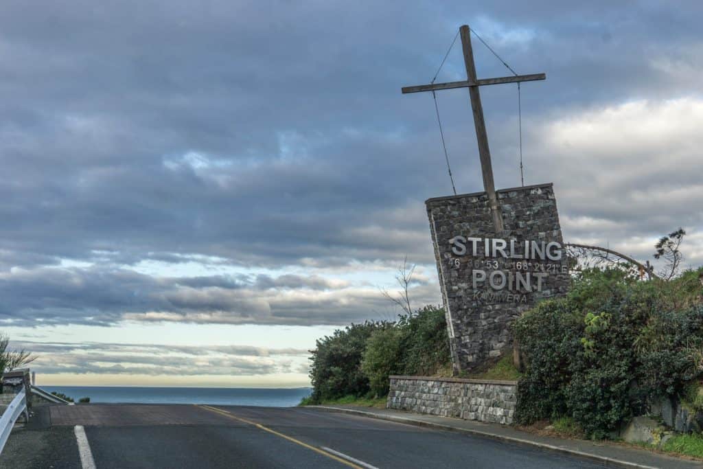
Southland ends at a signpost. Stand at Stirling Point and you’re looking at distance markers for London, the equator and the South Pole, carved onto blades bolted to a cemented post that gets photographed more than almost anything else in the region. It also marks one end of State Highway 1, which runs all the way to Cape Reinga, so plenty of the people here are finishing a road trip rather than starting one.
The point takes its European name from Captain William Stirling, who ran a whaling station on this stretch of coast from 1836. Māori call the hill behind it Motupōhue. In Ngāi Tahu tradition it is the taurapa, the sternpost, of Te Waka o Aoraki, the canoe said to have become the South Island, and oral history holds that chiefs are buried there. The hill was given Tōpuni status, a form of Ngāi Tahu cultural protection, in the 1998 treaty settlement.
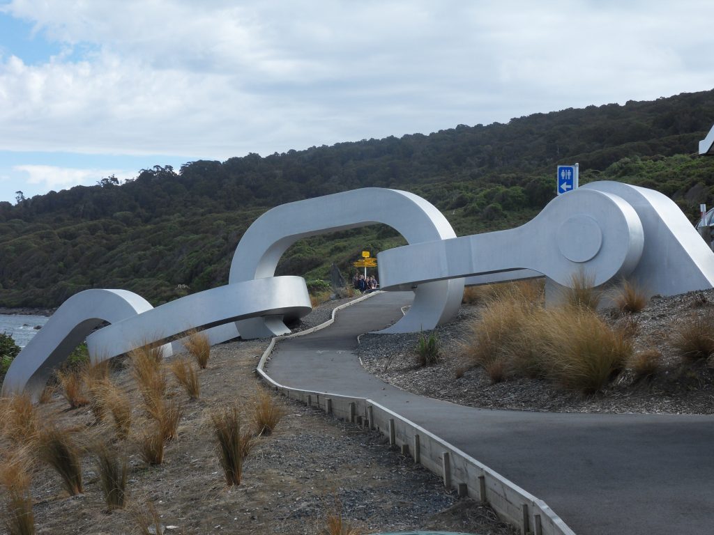
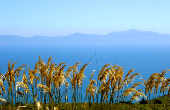
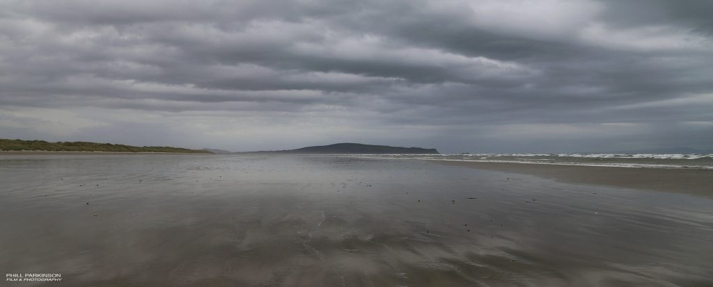
Walk down from the car park and you will find a sculpture of a broken anchor chain, with its other half set into the ground on Stewart Island across the strait. On a clear day you can see Rakiura from here, along with the smaller islands scattered through Foveaux Strait. Behind the point, the 265-metre hill rises straight up from a narrow strip of land at Ocean Beach, with walking tracks through bush that local volunteers have spent years restoring.
The signpost has had its share of mistakes. In 2017 a visiting tourist pointed out that several of its distances and directions were wrong, and the town fixed it the following year, swapping Tokyo for the Chinese city of Suqian in the process. It is free to visit, open at any hour, and there is parking right at the point.
Photos: Bluff Stirling Point by itravelNZ via Wikimedia Commons; BluffChainFebruary2010 by Ischa1 via Wikimedia Commons; Rakiura and Foveaux Strait from Bluff Hill by Phillip Capper via Wikimedia Commons; Bluff Hill in Southland by Phill Parkinson via Wikimedia Commons.