Overview
You don’t have to ask a ‘Coaster to know the West Coast of the South Island is special. It’s New Zealand at its most raw and elemental — a narrow strip of land squeezed between the Tasman Sea and the Southern Alps, battered by some of the heaviest rainfall on earth, cloaked in ancient podocarp rainforest, and still haunted by the ghost towns and golden dreams of New Zealand’s 19th-century gold rush era.
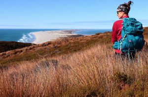
It is a region of extremes. The Fox and Franz Josef Glaciers descend from the Southern Alps almost to sea level — one of the only places in the world where temperate rainforest and ancient ice exist side by side. The Pancake Rocks at Punakaiki are a geological marvel: 30-million-year-old limestone formations stacked into impossibly neat horizontal layers. And the beaches — wild, grey-sand, driftwood-strewn, and largely empty — stretch for hundreds of kilometres under dramatic skies.
The West Coast is one of New Zealand’s least populated regions, which is precisely its appeal. Drive the legendary Haast Pass highway from Wanaka and you’ll cross one of the Southern Hemisphere’s most awe-inspiring mountain passes before descending into a UNESCO World Heritage landscape of ancient forest, braided rivers, and coastal wetlands. Most visitors combine the West Coast with a wider South Island loop, entering over Arthur’s Pass from Christchurch and exiting over Haast Pass toward Wanaka and Queenstown.
Top Things to Do in West Coast
Fox Glacier & Franz Josef Glacier
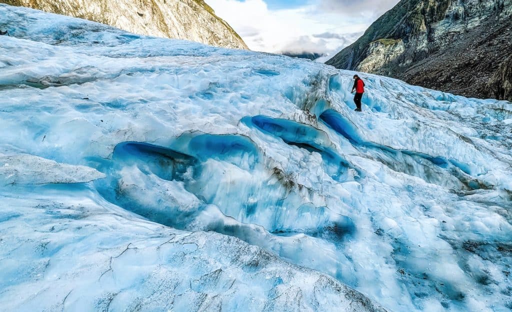
Two of the world’s most accessible glaciers flow from the Southern Alps almost to sea level within Te Wahipounamu World Heritage Area. Helicopter tours offering snow landings on the glacial neve above the icefall are among New Zealand’s most spectacular experiences, and on a clear day the aerial views of the Southern Alps from the upper glacier are breathtaking. Valley walks to the glacier viewpoints are free, though the ice face retreats seasonally. Guided ice climbing and heli-hike tours are available through accredited operators in both glacier villages of Fox Glacier and Franz Josef.
Pancake Rocks & Blowholes, Punakaiki
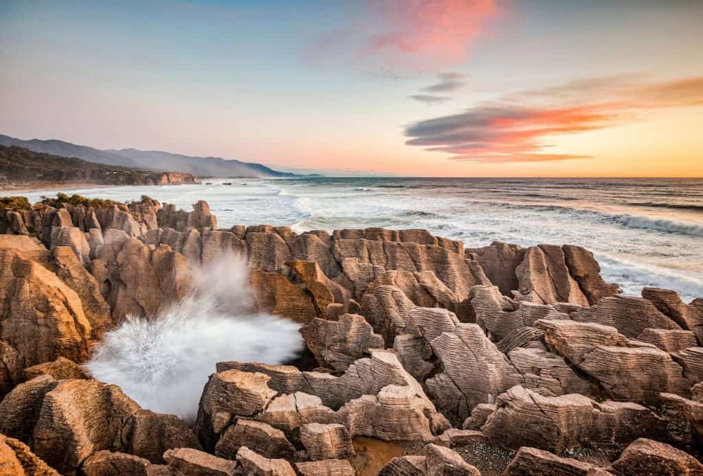
The most visited attraction on the West Coast, the Pancake Rocks at Punakaiki are a surreal geological wonder where 30-million-year-old limestone has been sculpted by wind, water, and weather into horizontal stacked formations resembling enormous piles of pancakes. At high tide, the blowholes between the rocks shoot jets of seawater metres into the air. A short, accessible boardwalk loop from the carpark takes about 20 minutes, and the adjacent Punakaiki Cavern is a worthwhile addition. The tiny settlement of Punakaiki has good accommodation and the excellent Punakaiki Restaurant.
Hokitika Gorge
Just 30 minutes inland from the coastal town of Hokitika, the Hokitika Gorge is one of the most intensely coloured natural landmarks in New Zealand. The Hokitika River runs a vivid, impossible turquoise — the result of ultra-fine glacial rock flour suspended in the water — cutting through a narrow limestone gorge draped in ancient ferns. A swing bridge over the gorge provides a classic photo opportunity. The walk from the carpark is short, flat, and suitable for most visitors, and the gorge is particularly striking on clear mornings when the water colour is most intense.

Oparara Basin & Arches
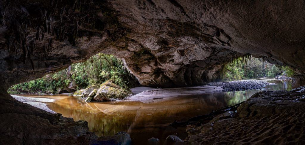
Near Karamea at the northern end of the West Coast, the Oparara Basin contains some of New Zealand’s most spectacular limestone karst scenery. The Oparara Arch — a 43-metre-high natural limestone bridge over a tannin-stained river — is New Zealand’s largest natural arch, set within ancient podocarp forest. The area is also home to unique cave wētā, giant land snails (Powelliphanta), and the Honeycomb Hill Caves fossil system, which requires guided access through Karamea and Beyond. The drive to Oparara along unsealed road adds to the sense of genuine remoteness.
Hokitika & the Gold Rush Heritage Trail
Hokitika was the administrative capital of the West Coast gold rush of the 1860s, and at its peak rivalled Dunedin as the busiest port in New Zealand. The town retains a strong gold rush character, with heritage buildings along its waterfront, a world-class greenstone (pounamu) carving tradition, and the excellent Hokitika Museum documenting the region’s extraordinary boom-and-bust history. The Hokitika Wildfoods Festival each March remains one of New Zealand’s most unusual and entertaining food events, celebrating the region’s tradition of foraging and eating from the wild.
Lake Mahinapua & Wilderness Walk
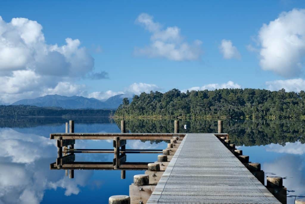
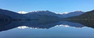
Ten minutes south of Hokitika, Lake Mahinapua is a peaceful, tea-coloured lake surrounded by native kahikatea forest — one of the last remaining stands of this once-dominant lowland forest type in New Zealand. The lake is accessible via a short walk from the Mahinapua Reserve, and the area is excellent for birdwatching, with kōtuku (white heron), teal, and pūkeko commonly spotted from the lake edge. The Mahinapua Hotel (est. 1869) on the lakeside is an authentic West Coast pub and a registered Heritage New Zealand site.
Arthur’s Pass & the Tranz Alpine Journey
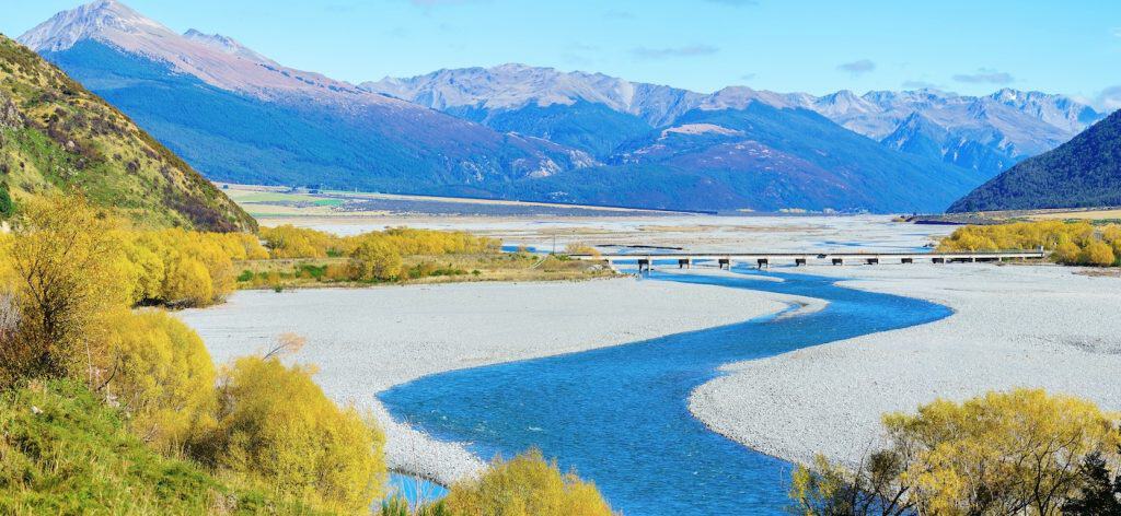
The eastern gateway to the West Coast is Arthur’s Pass National Park, a stunning alpine landscape straddling the Main Divide at 920 metres. The TranzAlpine scenic train journey from Christchurch to Greymouth crosses the pass on one of the world’s great rail journeys — four hours through the Canterbury Plains, the Waimakariri River gorge, alpine beech forest, and the dramatic Otira Viaduct. Those driving over Arthur’s Pass can stop at the historic village for excellent short walks, including the popular Devil’s Punchbowl Waterfall track (1 hour return).
Getting there and around
The West Coast has no commercial airport of note, so most visitors arrive by road — around 3–4 hours from Christchurch via Arthur’s Pass, or a similar drive from Nelson via the Buller Gorge. The TranzAlpine is one of the world’s great scenic train journeys, connecting Christchurch to Greymouth in about 4.5 hours, and InterCity buses also run along the coast.
A hire car is essential for exploring the West Coast properly, given its long, narrow shape and the distances between towns like Punakaiki, Hokitika, and the glacier townships of Franz Josef and Fox. There’s no meaningful public transport network once you’re off the main coastal highway, so self-driving — or an organised coach tour — is really the only practical way to see the region’s glaciers and rainforest.


Author: Tripplanner Team
The Tripplanner.nz editorial team, based in Matakana north of Auckland. We write the regional guides and road trips, and add listings for places we think every visitor should know about, alongside the locals who share their own favourite spots here.